![]()
 | |
|
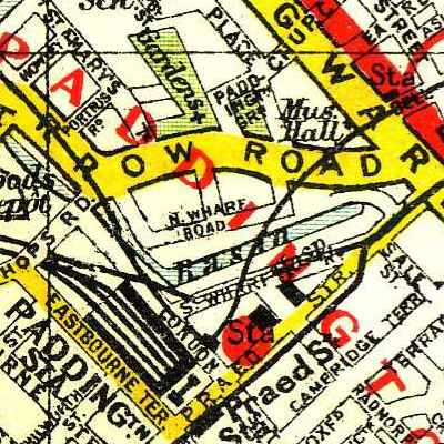
25 March 2005 Free map of LondonI finished scanning an out-of-copyright 1930s street atlas of London today. The scans comprise 31 JPEGs totalling 43Mb, which look a bit like this:
I scanned it in the hope that it'll be useful for Openstreetmap. Schuyler Erle, one of the geowhizzes contributing to the project (and who has one of the best URLs I've ever seen), has kindly Torrentified the archive and made it available here. Comments | |